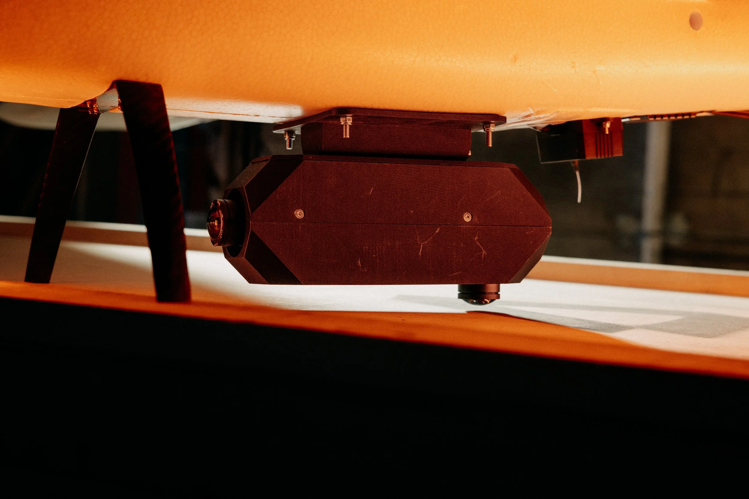
Osiris
GNSS can no longer be relied on. Yet existing solutions for UAVs are expensive, inaccurate, or require perfect conditions to operate in.
<15m CEP accuracy
2,000km range capable
3,000km+ flown in operational environments
Capabilities
Suitable for deep strikes.
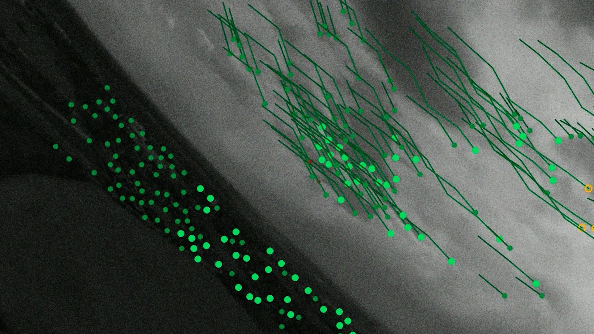
Navigates using cameras, inertial sensing and reference satellite imagery, with no dependence on GPS.
Delivers civilian-GPS accuracy, under 15m CEP, where GPS cannot be trusted.
Requires no CRP antennas, no subscription mapping and no RF signature.
Holds accuracy even when map matching is unavailable, staying reliable over rapidly changing battlefield terrain.
Built on low-cost commercial components from allied-nation supply chains.
Integrates with any Ardupilot or Pixhawk autopilot.
Scales across fleets without per-unit jamming mitigations.
Specifications
Size
85 x 85 x 50 mm
Weight
300 g
Power
Uses the UAV's power source (20W)
Average error over land (with geo-matching)
20 m
Drift since last geo-matching
0.2% of distance traveled